

Tasman Avenue, Mt Albert – Residential Project | Engineering and Surveying
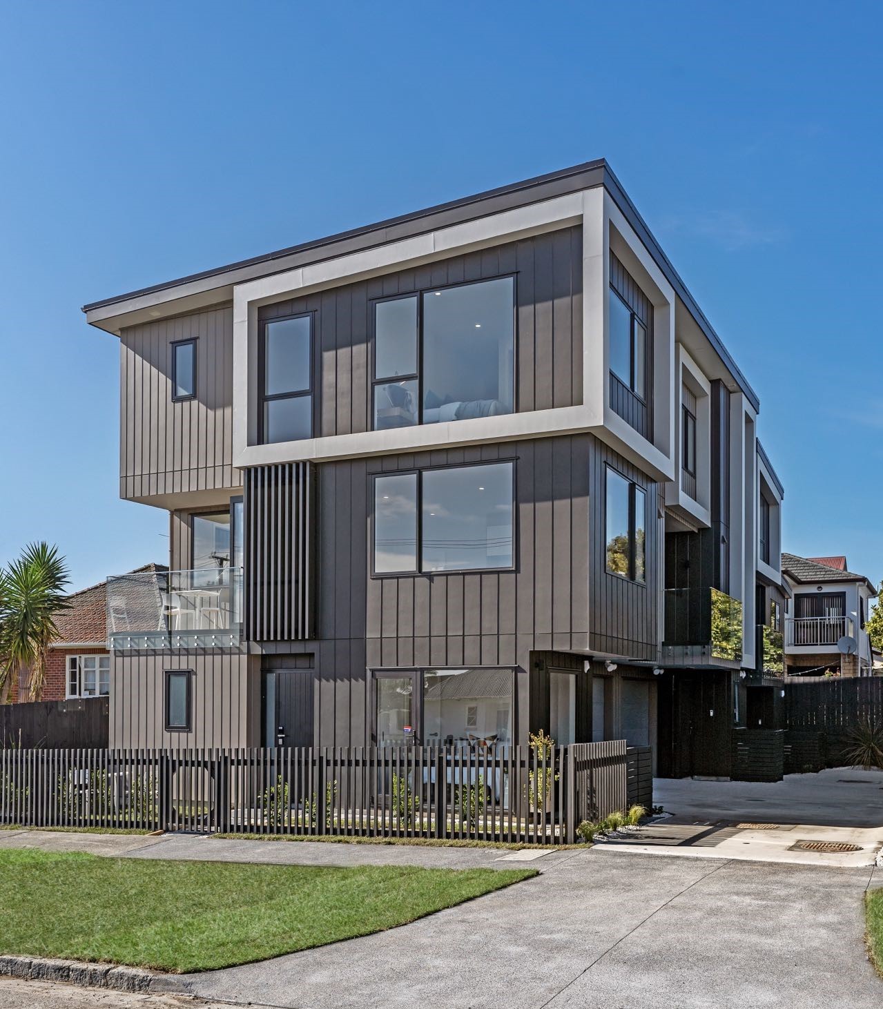
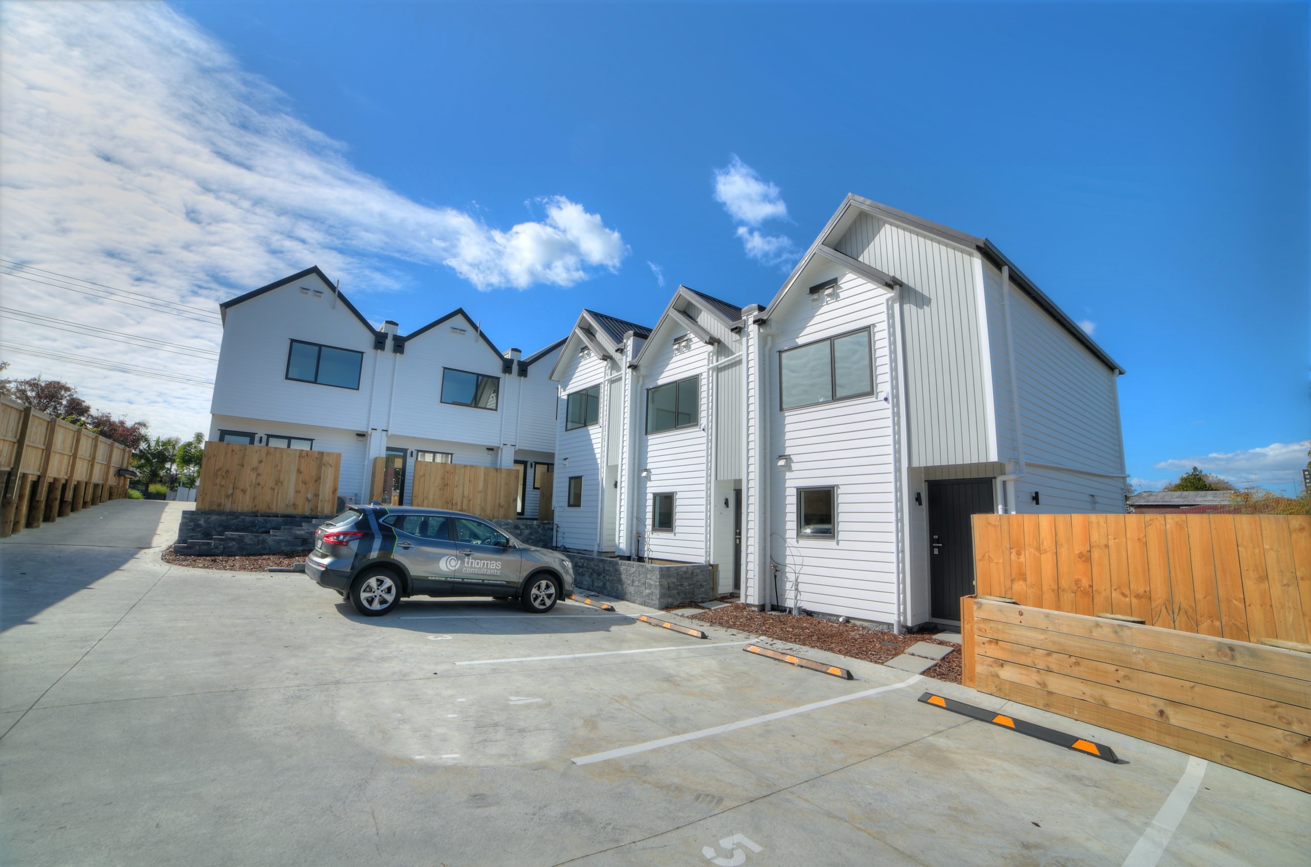
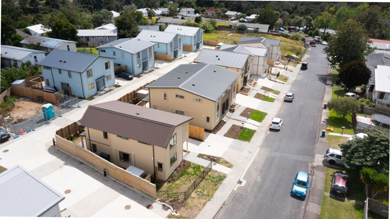
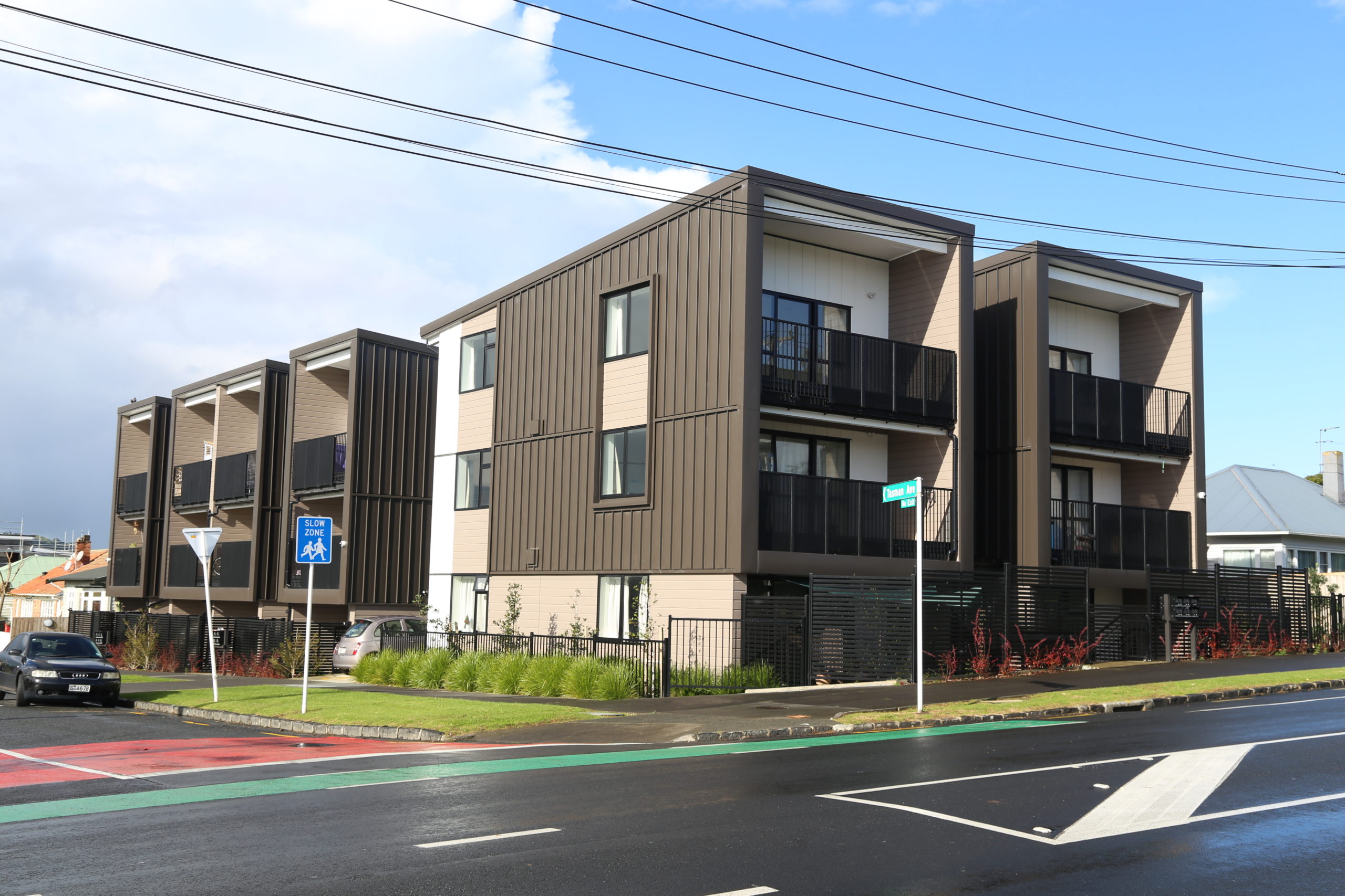
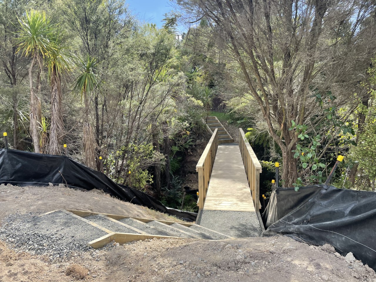
Client name: Private Site: Tasman Avenue, Mount Albert The Project: Thomas Consultants Ltd was engaged by a private client to utilise our engineering and surveying expertise for the construction of three new dwellings with subsequent subdivision to create 4 lots to be held in fee simple title, including the jointly owned access lot (JOAL). The…


